Restoration Monitoring

Restoration Monitoring Apps Ecosystem facilitates in monitoring land restoration projects using the power of Information and Communication Technology (ICT). With our user-friendly apps, stakeholders can easily track and monitor the progress of their restoration projects in near-real-time and stay up to date with the latest developments and contribute to the restoration efforts happening in their project areas.


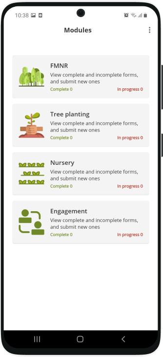
These apps offer a range of features to optimize the monitoring process, from data collection App (Regreening) that streamline information gathering to Data Reporting System (DRS) that allow stakeholders to have access to timely project data including visualization o of project matrices and restoration sites. Each project’s data can be used to measure the success of restoration initiatives, identify areas for improvement, and make informed decisions for future projects. Together, we can create a greener and more sustainable world.

Features

Monitoring of Major Restoration KPIs

The Regreening App help stakeholders collect data related to critical KPIs like number of farmers benefiting form a project, total area under restoration, Biodiversity on farm/plot.

Offline

The Regreening App works offline allowing enumerators to collect data while in remote areas where there is low cellular coverage. Data is stored on the devices till the time cellular/WIFI network is available.

GPS based Areas Calculations

The Regreening App calculates and report the actual size of the restoration plot by allowing enumerators to use GPS (capturing coordinates) while going around the intervention site.

Species data

The App also allow enumerators to record tree species (local and scientific names) data along with survival rate, height, CBH/RCC and GPS coordinates of trees. Such information is critical for farm/plot level biodiversity indicator.

Role of Gender in Restoration projects

The Role of gender is recorded for each plot in a restoration project like who plants and manages the farm and what was the distribution of male/female/youth in capacity development workshops.

Forum

Join our community of restoration enthusiasts to discuss land restoration by using the Forum module. As a registered user, you can ask questions or answer queries raised by others, provide suggestions to improve the app or reporting system.

Key Performance Indicators (KPIs)

22

Households

22

Countries

22

Projects

22

Trees

22

Nurseries

22

FMNR Plots

22

Total Area(Ha)

22

Users

Regreening App

Regreening App

The Regreening App is a free mobile-based Android application designed and developed by World Agroforestry (ICRAF), to help stakeholders collect information on how farmers are managing and protecting trees on their farms.

This Application was developed under the Regreening Africa project, which targets to Reverse Land Degradation in Africa by Scaling up Evergreen Agriculture in multiple countries.

Regreening Registration

All users of Regreening App require registration, thus, once app is installed users will be asked to “Sign up” or “Sign In” depending on registration status. Only registered users are allowed to collect data and monitor data-collection using Data Reporting System (DRS).

Users can access DRS using same username and password only if "project data managers" allows access to DRS.

Regreening App

Add your Projects

Regreening App

Now you can self register you project and start collecting data by sharing project details with your enumerators. To register your project, login to DRS with you Regreening App username and password and use Register Project section to register your project.

Once a project is registered, you will given Project Data Manager role automatically and now you can share project details with your enumerators enabling them to tag project name while collecting data.